A US interstate map is still useful in a phone-first world because it shows the shape of a trip before traffic apps start changing it minute by minute. If you are planning a family drive, a delivery run, or a solo haul across several states, the map tells you where the long gaps are, where the grades get steep, and where a detour can turn into a three-hour problem. I used to teach investigators to read routes the way adjusters read repair estimates: look for the obvious number, then look for what is hidden between the lines. That habit matters when fuel stops are spread out, weather can close a pass, and one missed exit can send you miles off course.
What a US interstate map actually tells you
A highway map gives you more than a line from point A to point B. The numbering system tells you direction and importance. Even-numbered routes generally run east to west, while odd-numbered routes generally run north to south. Three-digit routes are usually spurs or loops tied to a parent interstate, which is useful when you are trying to decide whether to stay on the main line or cut around a downtown core.
The map also helps you spot distance, not just geography. A route like I-80 across the Midwest behaves very differently from a short connector in a metro area. A paper atlas or clean digital map makes it easier to see whether you are crossing mountain terrain, toll corridors, or stretches with few services. That matters for tire wear, fuel planning, and the kind of fatigue that builds when rest areas are far apart.
If you are traveling with children or older passengers, those details are not trivia. They are the difference between a manageable day and a string of avoidable delays.
How to read a US interstate map for safer trip planning
The safest way to use a US interstate map is to treat it like a planning tool, not a decoration. Start with the main route, then identify the backup route and the service points that sit just off the exit. On a winter drive, I want to know where the next open town is if a crash shuts down the highway. In summer, I want to know where the fuel is before the needle gets near empty. On rural interstate segments, that can be 20 or 30 miles between practical stops.
This is also where weather and roadwork matter. A map will not warn you about black ice, but it will show whether your route depends on one bridge, one pass, or one long river crossing. If your phone app reroutes you, compare the new path against the map instead of accepting the first suggestion automatically. Waze and Google Maps are strong for live traffic, but they can also send drivers onto secondary roads that look shorter and behave worse.
For long trips, I tell people to save the main route, save one alternate, and keep one paper backup in the glove box. That simple habit pays off when the battery dies or the signal disappears.
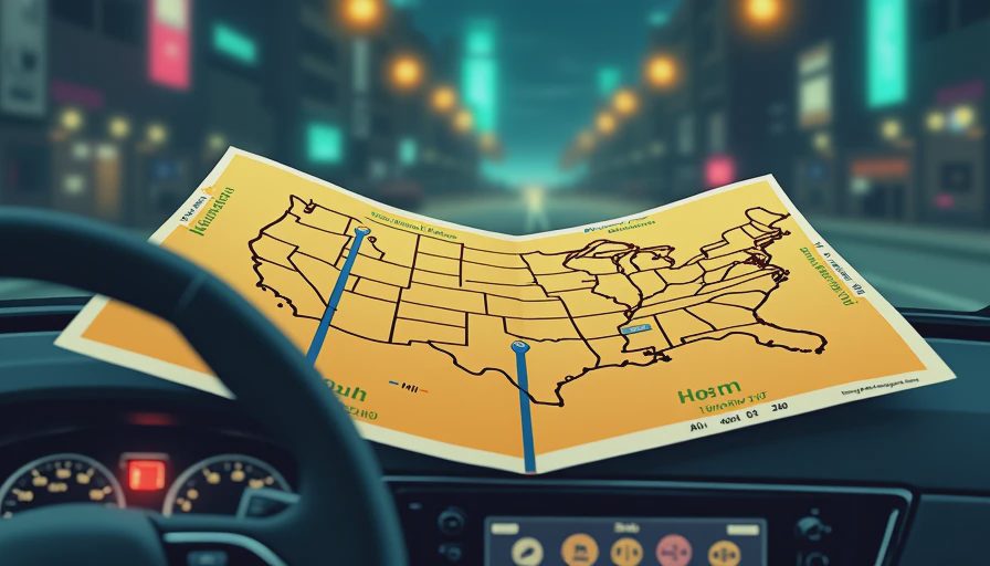
Paper map, phone app, or dashboard nav
Each tool has a job. A paper atlas is the best wide-angle view because it never loses charge and it shows the big pattern across states. Google Maps and Apple Maps are better for turn-by-turn guidance. Waze is useful when you want faster warnings about traffic, but it is only as good as the data around you. Factory navigation is convenient when the screen is already built into the dash, yet it often lags behind the best phone apps on live incident reroutes.
The mistake I see is depending on one source only. A driver who trusts the dashboard blindly can miss a fuel stop. A driver who trusts a phone blindly can miss the fact that the detour adds 40 miles and drops service coverage to nearly zero. The best setup is a layered one: map for shape, app for timing, and the car screen for quick glances. That is especially true if you tow, because a route that looks harmless on a phone can be a poor choice for a trailer on steep grades.
If you buy roadside assistance through an insurer or through AAA, check the towing distance before you leave. Ten miles sounds fine until you are 35 miles from the next exit.
What I check before a long haul
Before I leave, I look at three things: weather, service, and exit spacing. Weather comes first because ice, high wind, and heavy rain change braking distance and visibility. Service comes next because a fuel stop or a charger that is too far apart can force bad decisions. Exit spacing matters because a road with long rural gaps leaves less room for error if you get a flat tire or hear a warning light.
I also check tolls, construction windows, and rest area closures. A toll road can be faster, but it can also add surprise cost if your transponder is not active. Construction can close one lane and turn a normal two-hour run into a crawl. Rest areas matter more than most people think. A driver who stops every two to three hours is less likely to make risky late-day decisions, especially on a family trip.
This is where the map earns its keep. It does not replace good judgment, but it gives you a layout of the risk before you put the key in the ignition.
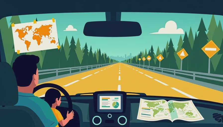
Detours, exits, and the part people miss
Most bad road-trip decisions happen after the first disruption. A crash closes the interstate, the app reroutes, and the driver follows the new line without checking how it connects back to the main route. That is where you can end up on a road with no shoulder, one gas station, and a string of confusing turns. A map helps you see whether the detour is a real alternate route or just a short local road that looks good in the moment.
Pay attention to exit numbering too. In many states, exit numbers track mile markers, so a sudden jump can tell you that you are far more off course than you thought. That is useful if you are coordinating with another car in a convoy, meeting a family member at a hotel, or trying to estimate arrival after a delay. It also helps when you are talking to roadside assistance, because clear location details save time.
I have seen drivers save themselves a hotel night and a tow bill simply by spotting a better reroute before they crossed the next city line.
Final checklist before you roll
Before a long drive, I print a US interstate map, mark the first fuel stop, mark the backup route, and note where the weather looks most volatile. I also confirm that my phone is charged, the charging cable works, and the vehicle has washer fluid, proper tire pressure, and enough tread for wet pavement. If the trip is long enough to matter, I want my roadside assistance number saved in my phone and on paper.
The best trips are not the ones with no surprises. They are the ones where the surprises are small enough to handle without panic. If you use a US interstate map this way, you stop guessing and start seeing the route the way a safety investigator would: where the gaps are, where the exits help, and where the risk changes. Here’s what the data shows. Here’s what owners should do.




No notes on this sheet yet.